History of the Mark Twain Neighborhood II
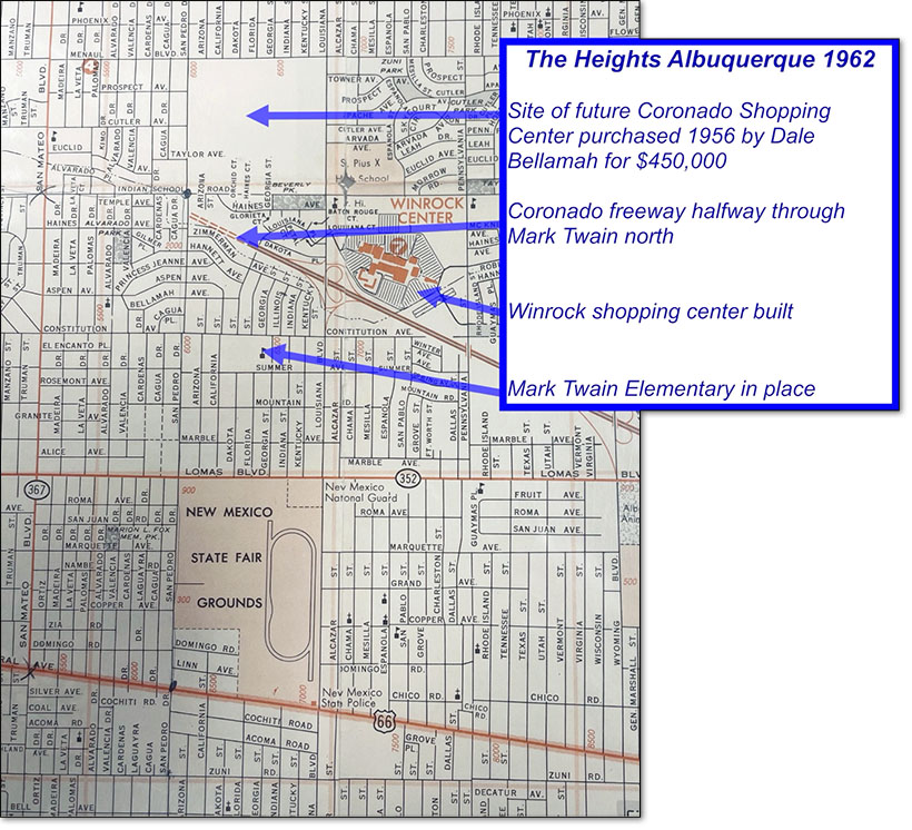
The golden age of American middle class upward mobility was in full flower by the early 1960’s. The interstate highway system begun in the Eisenhower administration pushed westward through Tijeras Canyon and across Albuquerque, initially named the Embudo Freeway. By 1962 it had reconfigured the north section of Mark Twain and was being completed parallel to Zimmerman.
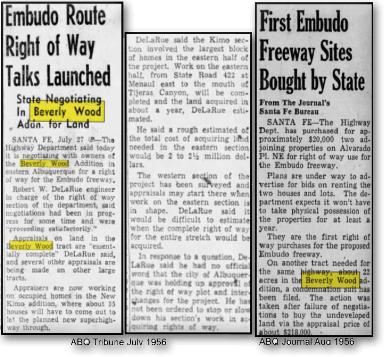
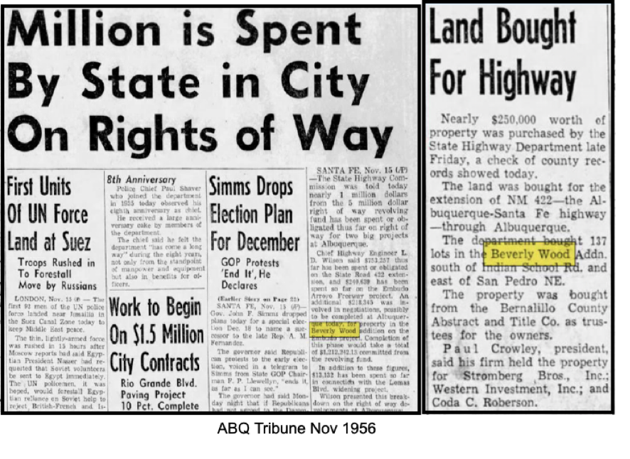
While Albuquerque was energized by its own explosive growth project, world affairs also carried on, though freeway right-of-way acquisition was “bigger news” here than the Suez Canal Crisis.
By 1962 Winthrop Rockefeller and his associates had built Winrock Center, the first large destination shopping center in Albuquerque. Developer Dale Bellamah purchased the large parcel of land north of Indian School, south of Menaul, between San Pedro and Louisiana in 1956 for the princely (his wife Jeanne being a princess) sum of $450,000…..the future location of Coronado Shopping Center and all its parking.
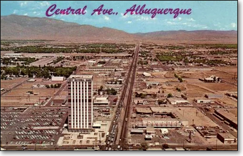
Work had begun in 1961 on the First National Bank Building East (later Bank of the West Tower) on the NE corner of San Mateo and Central. Designed by Flatow, Moore, Bryan and Fairburn in the mid-century international style, at 17 stories it was the tallest building in NM when opened in 1963 and would be the sentinel and symbol for a vision of a progressively prosperous Albuquerque growing eastward toward the Sandia mountains.
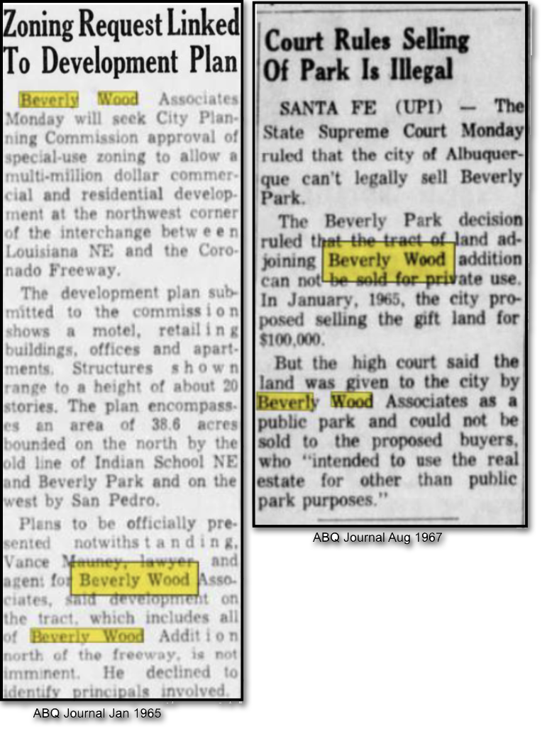
With completion of the renamed Coronado Freeway through Mark Twain, attention turned to the former residential lots north of it.
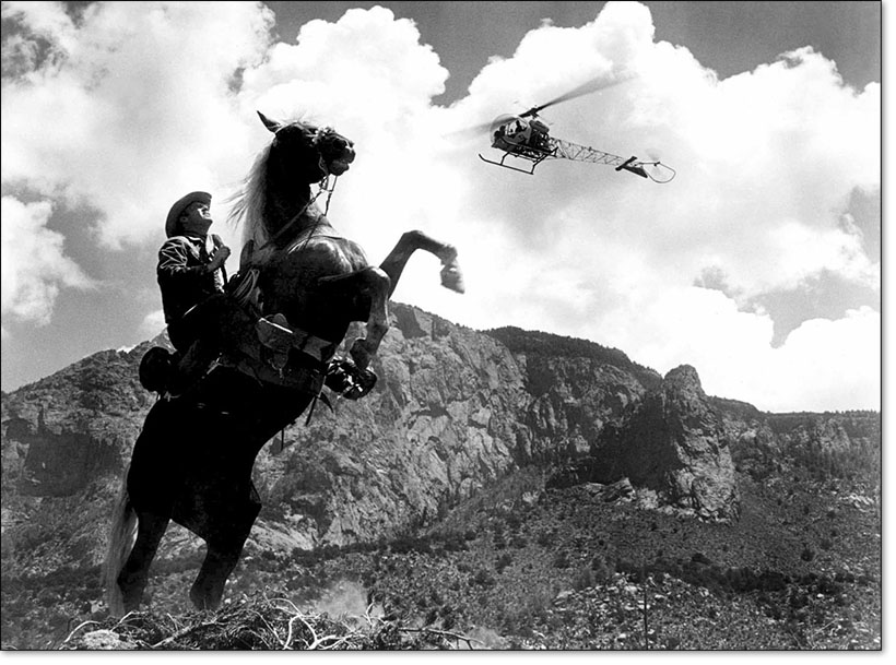
Also in 1962, Kirk Douglas assembled producers, cast, and crew to film what he later claimed was one of his favorite movies, Lonely Are The Brave, which provided vistas of the fast shrinking but still vast open space between the far eastern edge of town and the foothills of the Sandia’s.
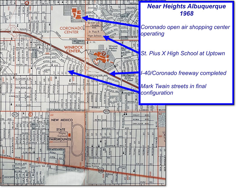
By 1968 the freeway was complete and operational. Route 66, from east to west including downtown, would start to feel the impact on its neon lit motels and businesses of no longer being the “Mother Road” and of the “pull” of retail business from street fronts to the larger shopping centers like Winrock and Coronado and others built in the wake of the City’s relentless expansion northeast. Mark Twain enjoyed a best of all world’s location, still close to the City center, UNM, and major hospitals, but adjacent to the big shopping centers and with immediate access to the new freeway. Residents could walk to the State Fair.
The upscale small shopping center at Fair Plaza offered nearby grocery shopping, florist, gift shop, bookstore, Baskin & Robbins, import boutique, and a friendly Wine Bar. The San Pedro and Lomas perimeter corridors were the locations of an array of specialty retailers, professional services and fast-food operations.
As an archetypal neighborhood of its era, boasting upscale homes attractively priced for middle class incomes, Mark Twain attracted young families, UNM professors, Sandia Labs scientists, professionals of all types, and military retirees. It also became the neighborhood and family home of civic leaders, like long time Congressional Representative and ultimately US Secretary of the Interior Manuel Lujan Jr.
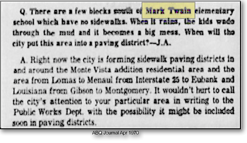
But there were still issues sometimes with lagging infrastructure……..
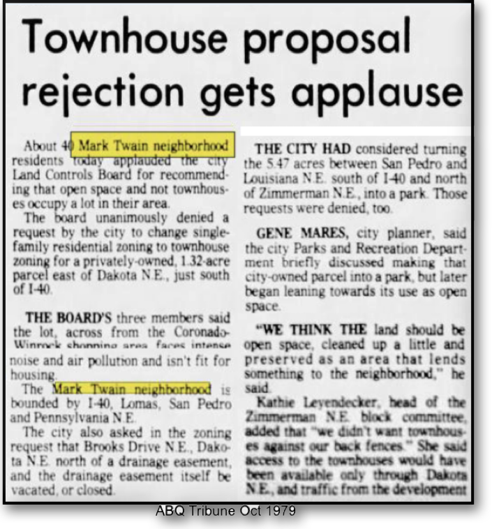
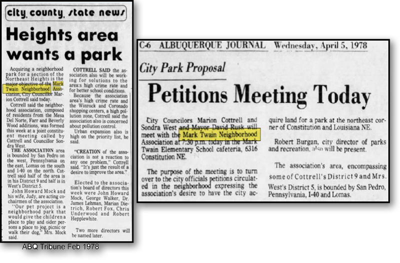
In 1978 the first Mark Twain Neighborhood Association was formed. It encompassed residents within the boundary of Lomas and the freeway (I-40) between San Pedro on the west and Pennsylvania to the east. Their initial objective was establishment of a park for the neighborhood.
But they did not stop there…….
